Is Rock Hall on the shores of the Bay, or River?
November 7, 2025
Where does our Chester River truly end? In science and geography class, we were taught that rivers end at a mouth, where their currents empty into the next, larger body of water – such as a bay, sea or ocean. These mouths are often defined by two distinct points along either river's shoreline.
If you look to sources like Wikipedia, Google’s Gemini AI or even the Maryland Department of the Environment, you will read that the Chester meets the Chesapeake Bay at an invisible boundary drawn between Kent County’s Swan Point – west of Rock Hall – and Kent Island’s Love Point to the south.
This begs the question: does Rock Hall stand on the shores of the Chesapeake, or is it a riverside community like neighboring Chestertown? Or, is it not so simple?
“Defining the precise location that marks the end of the River and beginning of the Bay is a nearly impossible task,” said Dr. Chelsea Peters, director of watershed innovation at Washington College’s Center for Environment and Society. “The mouth ‘line’ moves with tides and freshwater discharge. It also changes as the bathymetry of the channel shifts and as the banks erode or propagate.”
Take out a nautical depth chart and visualize the Bay’s waters decreased by a level of roughly 12 feet. You will find a much truer mouth defined by the now exposed Swan Point Bar and an elongated Love Point – the very points currently referenced as the Chester’s textbook-defined mouth (just a couple miles further apart given today’s water levels). This new mouth would be located between present-day Bay Shore Campground and the Eastern Neck Narrows.
But this argument and the Love Point-Swan Point boundary do not match what is happening in real life out on the water. Beyond Eastern Neck, the Chester’s calm and protected estuarine flow gives way to the tidal pulse and currents of the greater Chesapeake. Eastern Neck Island's shoreline forms a natural barrier, marking where the River’s channel opens to wider waters.
Many who know these local waters well argue that the true mouth lies between Love Point and Eastern Neck Island, near Cabin Cove – a boundary that better reflects the natural behaviors of both river and bay.
Nautical charts from the National Oceanic and Atmospheric Administration (NOAA), current data and even the cartography of the bay’s floor show a clear transition: stronger tides, shifting shoals and open-bay mixing patterns begin at Eastern Neck.
“The best way to think about the region between Swan Point, Love Point and Eastern Neck National Wildlife Refuge is a zone of transition between the Chester and the Chesapeake Bay,” added Dr. Peters.
In the end, the mouth of the Chester depends on what information one uses to define such a geographic characteristic. It is not simply a line on a map, it is where the River’s rhythm gives way to the Bay’s – and we say the Bay's rhythm runs through the heart of every Rock Haller who calls the Pearl of the Chesapeake their home.
FEATURED PHOTO: Illustrative map of the mouth of the lower Chester River.
Press contact
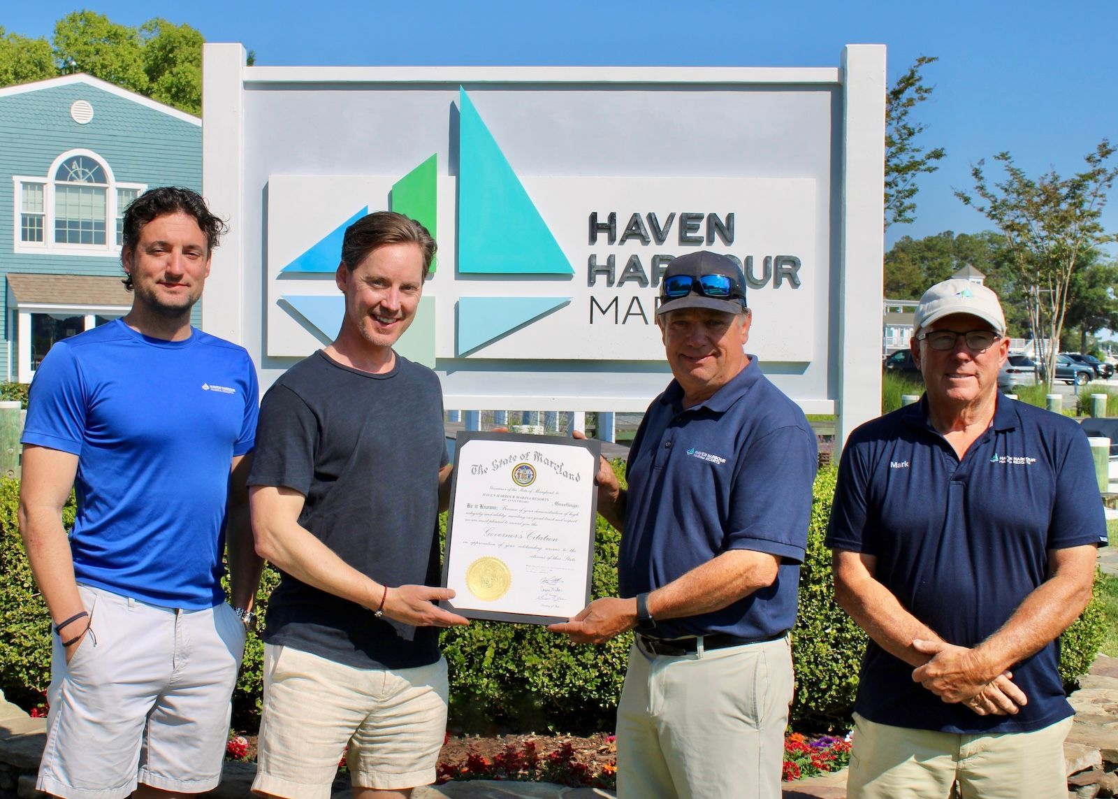
For 40 years, Haven Harbour Marina Resorts has proudly served the Chesapeake Bay boating community as a family-owned and operated business.

Admirals Beachside Bar at Haven Harbour South will be re-opening April 17, followed by Haven Harbour Marina's Passages Bar & Grill in the coming weeks.
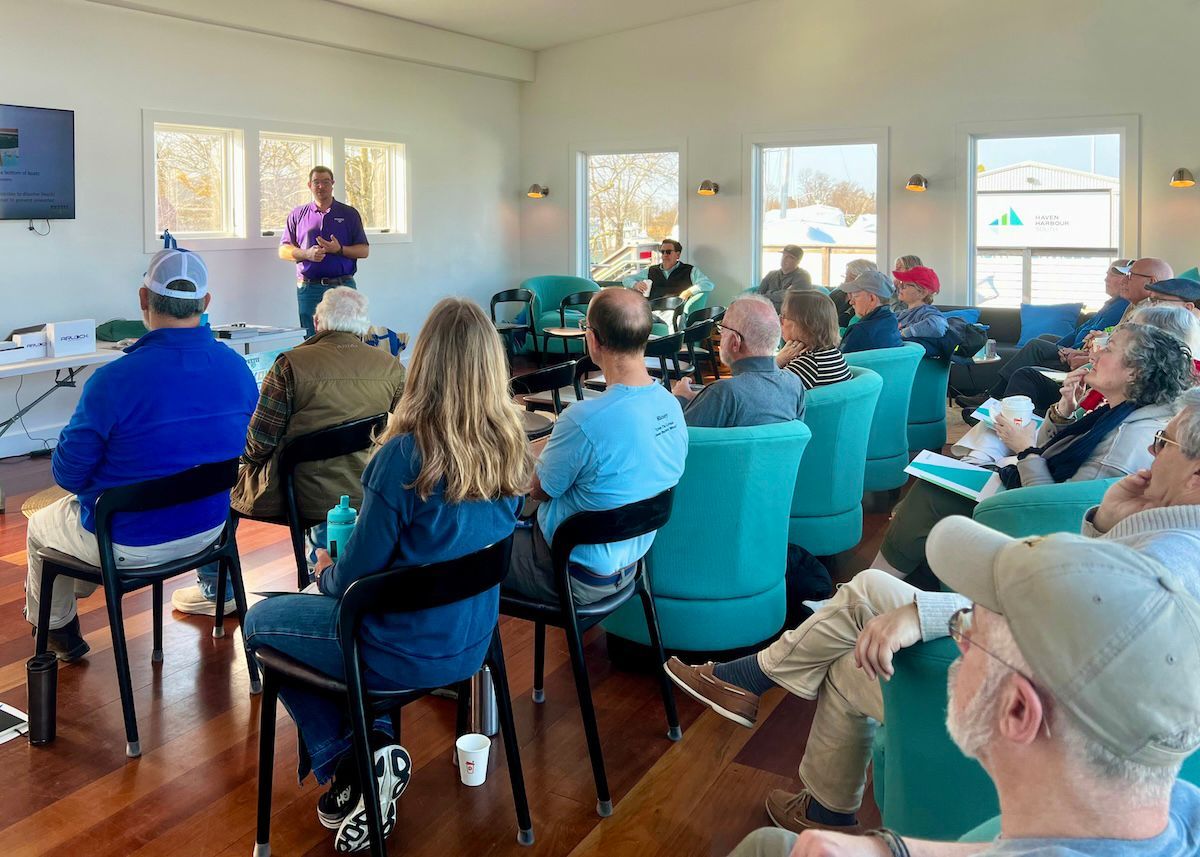
Haven Harbour Yacht Services' spring 2025 Seminar Series, hosted by Erik Lostrom, has come to a close with its third and final session on boat maintenance topics.