Nine nearby day destinations for boating
June 3, 2020

The shoreline of Maryland's Chesapeake Bay offers an abundance of day destinations for family and friends to enjoy (while social distancing). Nowhere is this more true than among the many coves, creeks and inlets of Kent and Queen Anne's counties.
Complied here is a list of our staff's top nine most recommended places to visit, ranked in order by distance needed to travel by boat from the docks and launch ramps of Rock Hall.
Swan Creek (1) forms the northern boundary of Rock Hall. With several marinas, numerous coves and an anchorage, this body of water on the outskirts of town is perfect for a day of light travel or blissful anchoring-out. MLW: 5-12'; 39°08'48.6"N 76°15'24.8"W.
Roughly five nautical miles north up the Chesapeake Bay is Tolchester (2). An unincorporated community consisting largely of residential neighborhoods and a marina, this spot boasts The Shanty Bar that offers stunning vistas of the bay from a private beach available to visiting patrons. MLW: 6'; 39°12'52.5"N 76°14'41.7"W.
Not far from the mouth of the Chester is Queenstown Creek (3). This small inlet south of Rock Hall and Eastern Neck Island is most popular for its sandbar and protected coves, great for anchoring. Its channel, however, can be tricky for deeper-drawing vessels. A public ramp makes for an effortless walk into the quaint village of Queenstown. Calzones from the one and only Queenstown Pizzeria are highly recommended by our staff. MLW: 6-9'; 38°59'44.0"N 76°09'39.1"W.
Travel to the Chester River side of Eastern Neck to find Grays Inn Creek (4). With its close proximity to Rock Hall and the convenience of a public launch ramp, Grays Inn offers visitors a glimpse into the Chester River environment without the extensive ride time of other upriver destinations. If possible, keep mid-channel to avoid long shoals on either side of the creek's entrance. MLW: 8-12'; 39°06'29.9"N 76°12'56.3"W.
A few minutes north of Tolchester on the Chesapeake is Jellyfish Joel's located at the mouth of Fairlee Creek (5). Situated on a broad sandbar, this beach bar and concession area is great for groups. Boaters beware as currents entering Fairlee Creek can be hazardous and few navigational aids exist. Great anchorage spots lie behind the sand spit and across from Great Oak Marina. But for greater seclusion, travel upstream towards the creek's head where there is reasonable holding and water depth. MLW: 8-4'; 39°15'58.5"N 76°12'26.0"W.
One creek up the Chester from Grays Inn is Langford (6). With a predominately residential setting, this quintessential river tributary is great for families. Stop by the Rock Hall Yacht Club for a quick meal before an afternoon of fun and adventure. Years of erosion at the creek's fork have formed Cacaway Island, a wonderful spot for larger-drawing vessels to anchor-out close to land – or for smaller pleasure craft to beach and enjoy the area's expansive sandbars. MLW: 6-39'; 39°07'27.2"N 76°09'48.1"W.
Conquest Beach (7) on the Chester is a public recreational park with plenty of grassy space to spread out. Beach your vessel for an afternoon picnic, corn hole tournament or other outdoor activity. Public restrooms are also available, but may be closed at this time due to the coronavirus. MLW: 4-2'; 39°05'49.1"N 76°07'30.5"W.
The Corsica River (8) is a quiet branch of the Chester featuring ideal anchorage spots, especially for deeper-drawing vessels, that hold well and are close to land. Take a dinghy ride to the head of the river and grab a bite to eat at Doc's Riverside Grille in Centreville, or spectate one of the many boat races hosted by the nearby Corsica River Yacht Club. MLW: 6-16' until Jacobs Nose; 39°04'54.7"N 76°06'29.5"W.
Twelve nautical miles upriver from the Corsica is Rolph's Wharf (9). Positioned on a bend in the Chester, Rolph's is a small marina complete with fuel dock and beach. Snag a day slip before getting a drink or appetizer from The Sandbar, or continue upriver to reach Chestertown, just a short distance away. MLW: 5-2'; 39°10'27.1"N 76°02'15.3"W.
Honorable mentions not on our map but worth a visit include Comegys Bight and Devils Reach, both on the Chester. Comegys, across from Conquest, offers 8 to 9 feet of water spanning roughly a half-mile in width. This anchorage basin is great for observing wildlife, but beware of shoals just off Deep Point and a lump smack at the basin's center; each measuring roughly 6 feet of water. Devils Reach, 1 mile south of Chestertown, is an ideal anchorage on the south shore of the river fit for quiet summer evenings. Depths range from 9 to 12 feet.
With warmer and socially-distant days ahead, get out and experience what natural beauty Maryland's waterways have to offer.
FEATURED PHOTOS: Nearby day destinations our staff recommends to visit by boat. Cover photo courtesy of ShoreRivers.
Press contact
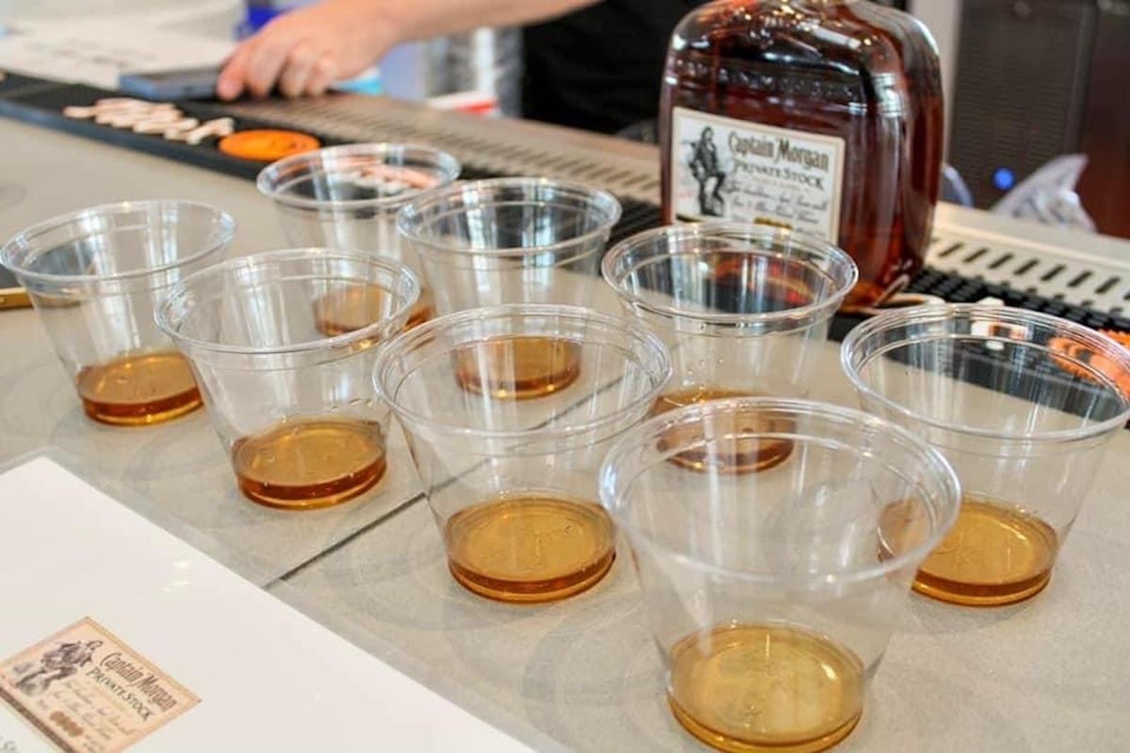
Ark & Dove Restaurant will be hosting this year's Rum Tasting as part of Pirates & Wenches Weekend, happening on Friday, Aug. 7 from 5:00-8:00 p.m.
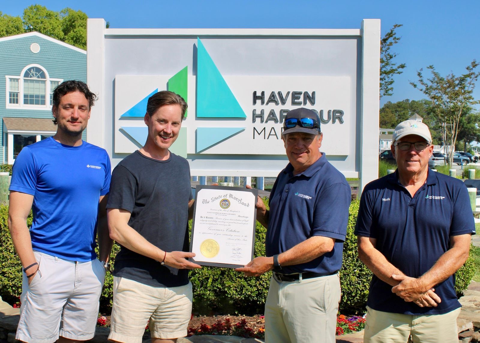
For 40 years, Haven Harbour Marina Resorts has proudly served the Chesapeake Bay boating community as a family-owned and operated business.
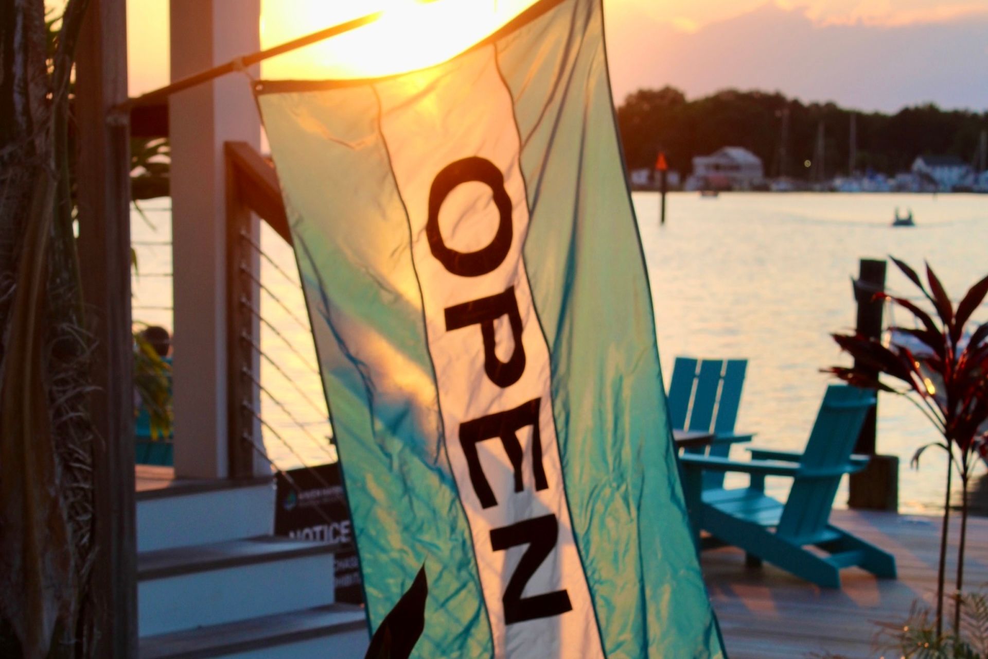
Admirals Beachside Bar at Haven Harbour South will be re-opening April 17, followed by Haven Harbour Marina's Passages Bar & Grill in the coming weeks.